

Col del Fenilon – Val di Cavallini

Description
The tour starts just north of Bassano del Grappa in Romano d'Ezzellino. From here, the route rides steadily uphill on long, classic serpentines - typical of this beautiful southern Alpine region. Meter by meter, you gain altitude before the route briefly switches to gravel below Monte Nosellari, takes a trail uphill and finally continues on asphalt again towards Campo Solagna. After Campo Solagna, you reach the Villagio del Sole - "Village of the Sun" - an apt name for this beautiful plateau in the Southern Alps, which is a paradise for sun-seekers, especially in late autumn and winter.
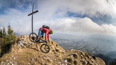
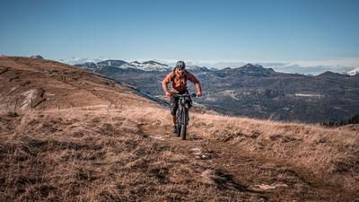
The route continues over the ridge, on a mixture of asphalt and gravel, until you reach the summit of the Col del Fenilon. The last few meters ride over a meadow slope until you finally reach 1327 metres above sea level. The view is spectacular: the massive foothills of the Dolomites rise up to the north, while the view to the south stretches as far as the Mediterranean - a contrast that makes every biker's heart beat faster.
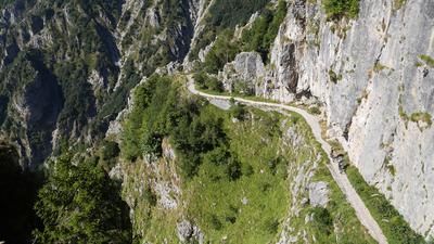
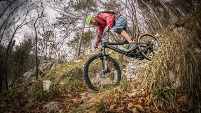
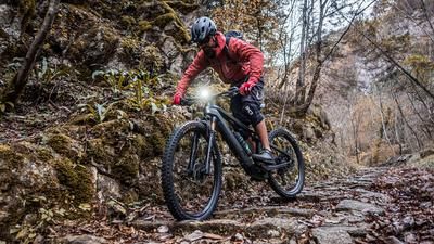
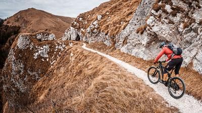
The descent begins relatively gently with difficulty level S1, perfect for warming up under braking, and then increases to S2. The trail leads down to the Via delle Penise pass road, which is crossed on gravel. This military road from the First World War leads into Sentiero 943. This trail starts gently but changes its character abruptly: with difficulty levels S3 to S4, it demands maximum concentration and riding technique. Conditions can vary in the event of bad weather, as this is an alpine trail that is very demanding on loose gravel, with tight hairpin bends and countless key sections. The trail almost ends at Fiume Brenta, where the route finally leads back to the starting point on main and secondary roads in a relaxed manner.
Note: You should take plenty of water with you on this tour, as the route is dry and the summer temperatures can cause additional strain. The tour is particularly worthwhile in late fall or when there is little snow in winter, as the reduced vegetation offers optimal conditions.
Map & GPX-Track
The map is only available to Ride subscribers.
The Ride-Subscription is available at ride-mtb.com/abo
.
Details of the tour
32 km
1180 m
1180 m
123 above sea level
1295 above sea level
Romano d’Ezzellino
Romano d’Ezzellino
3382
well suited
More information
More tours nearby







User comments (1)

About the author: Martin Depauli
Note: This content has been automatically translated from German. Please report any incorrect translations.
Actually, the trail from the gravel road downwards should rather be classified as not worthwhile...the upper half is hardly rideable, extremely bumpy, hardly maintained path, rather dry stream bed, exposed hairpin bends, longer carrying passages with rope safety devices and step aids and it has nothing to do with S3/4...too bad