

Stalla Alta

Description
The tour starts in Pederobba and initially takes a relaxed ride on asphalt up through the serpentines on the southern slopes. The cool and dry air in autumn and winter offers a magnificent view of the Venetian plains after just a few meters in altitude. The route climbs around 500 meters in altitude on asphalt before meeting the CAI 221/Comet and then heading north.
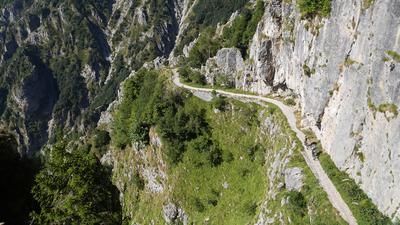
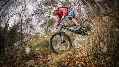
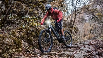
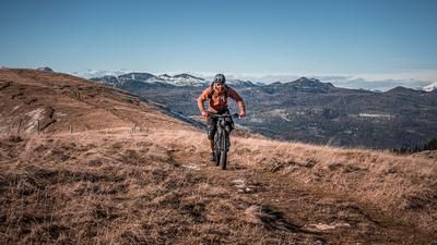
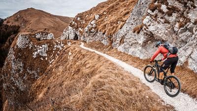
The descent can be classified between difficulty levels S2 and S3, with some crisp key sections. The route is well used and is regularly used by the locals, making the route clearly recognizable. However, it should be noted that there can be heavy vegetation, especially in the summer months, and the thorns in some sections should not be underestimated. The surface varies between soil, classic karst and limestone as well as rock formations, which makes for a varied ride.
After the descent, you reach Alano di Piave and ride back south along the cycle path along the Piave River to the starting point.
Map & GPX-Track
The map is only available to Ride subscribers.
The Ride-Subscription is available at ride-mtb.com/abo
.
Details of the tour
15 km
540 m
540 m
177 above sea level
685 above sea level
1 day
Pederobba
Pederobba
3191
well suited
More tours nearby







User comments (0)

About the author: Martin Depauli
Note: This content has been automatically translated from German. Please report any incorrect translations.