

Monte Colombera

Description
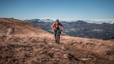
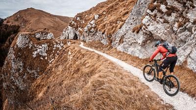
The starting point of the tour is the small village of Semonzo del Grappa at just under 250 meters above sea level. At the start of this tour, the question arises as to whether you should be shuttled to the summit, as the road to Monte Grappa passes right by, or whether you should tackle the uphill on your own. If you choose the second option, a long, long ascent begins. With a slight gradient, it feels like half an eternity as you wind your way to the summit of Monte Colombera. It is essential to take plenty of water with you, especially in high temperatures, as the route is very exposed and dry on the uphill section. Once you reach the highest point of the tour at the summit of Monte Colombera (1449 meters above sea level), you can enjoy a dream panorama typical of Grappa. You can see the plains of Vicenza, views towards Venice and the Mediterranean.
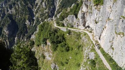
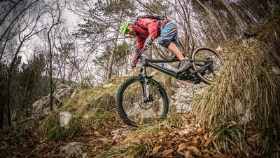
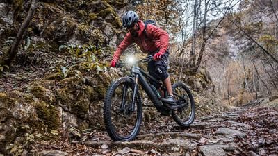
The downhill, on the other hand, is another story. At difficulty levels S3 to S4, the trail descends into the valley and becomes easier the lower you go. At the summit itself, the first hairpin bends are still rideable, after which a large section of pushing begins that makes you wonder whether you are still in the right place. This question is answered in the affirmative later on. An old military road, or rather an Alpini trail, leads down Sentiero 104 to Cima Castel. Here the path becomes a little easier and you surf towards Chiavacci Astronomia on difficulty S2 to S3 towards the valley floor. The last few meters are briefly on asphalt and include flow trails. The way back is just as typical of the Grappa and small forest paths, trails and side roads are used to get back to the starting point.
Map & GPX-Track
The map is only available to Ride subscribers.
The Ride-Subscription is available at ride-mtb.com/abo
.
Details of the tour
27 km
1295 m
1295 m
186 above sea level
1391 above sea level
1 day
Rovereto
Rovereto
2207
well suited
More tours nearby







User comments (0)

About the author: Martin Depauli
Note: This content has been automatically translated from German. Please report any incorrect translations.