

Monte Lisser

Description
The tour starts in the small town of Costa on the Fiume Brenta and initially takes a relaxed ride north on asphalt until it climbs shortly before Primolano. From here, the SP76 winds its way steadily uphill with numerous hairpin bends to Enego. The idyllic plateau with its typical Italian charm and sweeping views of the surrounding mountains is an experience in itself. The route continues on asphalt until you finally turn right at a crossroads on the plateau of the "Sette Comuni" (Seven Municipalities) and continue towards Baita Monte Lisser.
Shortly before Baita Monte Lisser, the surface changes to gravel and the route follows a former military ramp up to Forte Lisser. Built during the First World War, this fortress has survived the test of time and was restored in 2017 and converted into an accessible museum. It is well worth a visit to explore the impressive construction and history of the fortress.
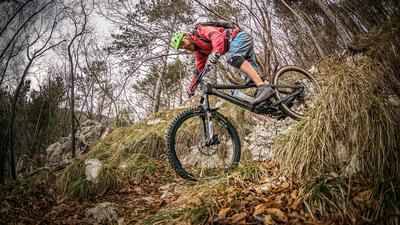
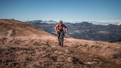
The subsequent descent begins with an initial single trail that runs at S1 level through open terrain and woodland before descending across meadows. Finally, you reach the ascent route again above the Baita Monte Lisser. From here, you cross the extensive plateaus of Asiago in the direction of Valgoda, a small, picturesque hamlet located high above the steep walls of the Fiume Brenta.
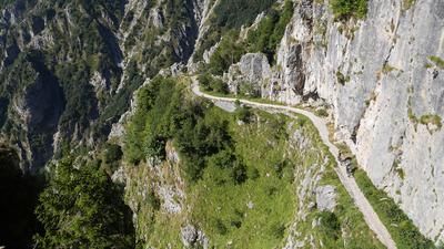
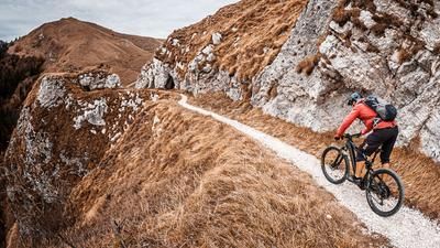
The absolute highlight of the tour is the following descent: a historic path winds spectacularly through the landscape and offers breathtaking views. Technically demanding, the trail ranges between S2 and occasionally S3, with some sections requiring surefootedness and a good choice of line.
Note: Some sections of the tour run through sensitive and exposed mountain terrain, which can be affected by erosion and storm damage. The difficulty can therefore vary depending on the weather conditions. The tour is an unforgettable experience, especially in the fall. As there are only limited water sources along the route, you should carry sufficient drinking water with you.
Map & GPX-Track
The map is only available to Ride subscribers.
The Ride-Subscription is available at ride-mtb.com/abo
.
Details of the tour
42 km
1530 m
1530 m
175 above sea level
1610 above sea level
Costa
Costa
3386
well suited
More information
More tours nearby







User comments (0)

About the author: Martin Depauli
Note: This content has been automatically translated from German. Please report any incorrect translations.