

Rotkogeljochhütte

Description
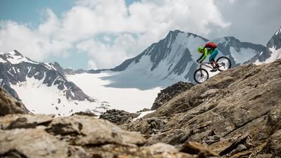
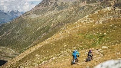
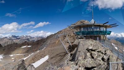
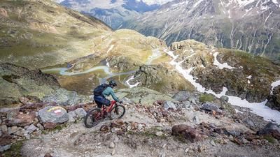
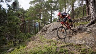
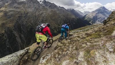
The endlessly long climb on the Ötztal glacier road follows in the footsteps of the Deutschlandtour heroes, who were already shaking in 2005 in the face of around 1500 meters of altitude in one go. The highest point and stage finish at that time is the parking lot at the Rettenbach Glacier. But be careful! You shouldn't have used up all your energy by this point, as there are another 150 meters of ascent up to the Rotkogeljochhütte. Only there does the magnificent descent down to Hochsölden and on to Sölden begin.
Note: The route is located on Austrian territory and leads over routes that are not approved for mountain bikers. Riding this route on a mountain bike is the responsibility of each individual, in full awareness of the legal situation.
Map & GPX-Track
The map is only available to Ride subscribers.
The Ride-Subscription is available at ride-mtb.com/abo
.
Details of the tour
26 km
1580 m
1580 m
1 day
Sölden
Sölden
1598
well suited
More tours nearby







User comments (0)

About the author: Thomas Giger
Note: This content has been automatically translated from German. Please report any incorrect translations.