

Gaisslachalm

Description
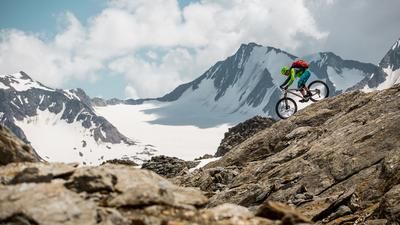
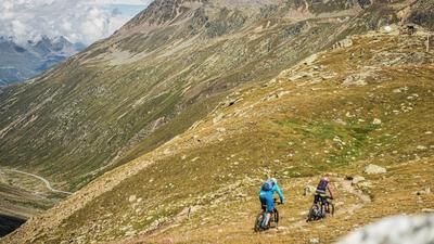
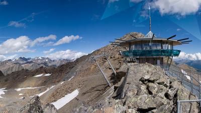
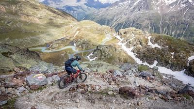
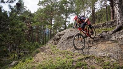
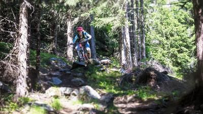
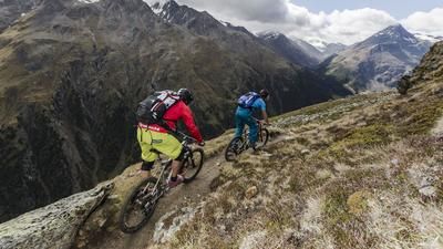
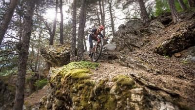
Start in the center of Sölden. At the BP petrol station, turn right uphill through the hamlets of Außerwald and Innerwald. You then come to the glacier road, which you leave again after about 700 meters. Follow the evenly ascending gravel path to the Gaislachalm. The highest point of the tour is reached here at 1968 meters. It's high time for a refreshment stop before continuing on a single trail with technical delicacies into the Venter Tal valley. Short pushing passages cannot be avoided here (follow the signs!). The way back follows the Ötztal Trail to Sölden.
Note: The route is located on Austrian territory and leads over routes that are not approved for mountain bikers. Riding this route on a mountain bike is the responsibility of each individual, in full awareness of the legal situation.
Map & GPX-Track
The map is only available to Ride subscribers.
The Ride-Subscription is available at ride-mtb.com/abo
.
Details of the tour
18 km
840 m
840 m
1 day
Sölden
Sölden
1597
well suited
More information
More tours nearby







User comments (1)

About the author: Thomas Giger
Note: This content has been automatically translated from German. Please report any incorrect translations.
The ascent to the Gaisslachalm resembles a major construction site - lots of traffic and even more dust... so if you want to avoid dust lung, choose the ascent via or Gaislachkoglbahn.