

Kleblealm

Description
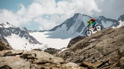
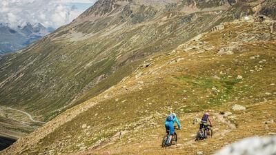
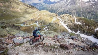
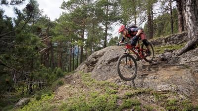
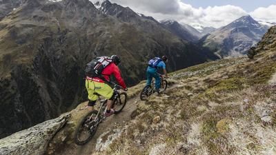
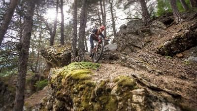
From Sölden, take the side road to the Wildmoos district, where the ascent towards Brunnenbergalm begins. At an altitude of 1725 meters above sea level, keep straight on at a right-hand hairpin bend and leave the road to the alp. The climb continues unabated on a gravel road until the road becomes steeper and finally turns into a single trail. The descent into the Windachtal valley is technically demanding and ends on the banks of the Windache just below the Lochlealm. From here you start the second ascent, which rides up to the Kleblealm. The first 70 vertical meters are mastered on a single trail until the gravel road to the Kleblealm is reached. It is now not far to the alpine pasture and the worthwhile stop at the inn. The singletrail descent starts directly at the Alm and is one of the most famous descents in Sölden. The path winds its way through the forest in a very varied way, crossing a gravel road again and again and ending directly at the first houses in Sölden.
Tip: If the descent down into the Windachtal valley is too difficult for you, climb up from Sölden along the road to the Kleblealm. This is the standard version of the Kleblealm tour.
Note: The route is located on Austrian territory and leads over routes that are not approved for mountain bikers. Riding this route on a mountain bike is the responsibility of each individual, in full awareness of the legal situation.
Map & GPX-Track
The map is only available to Ride subscribers.
The Ride-Subscription is available at ride-mtb.com/abo
.
Details of the tour
12 km
815 m
815 m
1349 above sea level
1983 above sea level
1 day
Sölden
Sölden
1744
well suited
More information
Video
More tours nearby







User comments (0)

About the author: Thomas Giger
Note: This content has been automatically translated from German. Please report any incorrect translations.