

Stabelealm

Description
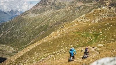
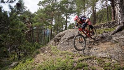
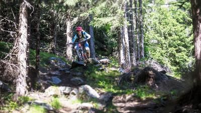
From Längenfeld you first roll to the Ötztaler Ache river and follow it on the left bank until just before Winklen. The valley floor is crossed and the long ascent on the gravel road to the serviced Stabelealm begins at the edge of the forest. You pass the Wurzbergalm and the Leckalm. At the Stabelealm, you need to fortify yourself for the singletrail descent. This begins quite harmlessly a little above the Innerbergalm. As soon as you reach the forest, the trail shows its true colors: steep, winding, challenging. It's not for everyone, but it is an excellent trail for mountain bikers who are not looking for the high speeds of a flow trail, but rather a deliberate choice of lines on a narrow path. The trail retains its character for the entire 800 meters in altitude. Relaxation is only possible on the flat final section on the valley floor back to Längenfeld.
Note: The route is located on Austrian territory and leads over routes that are not approved for mountain bikers. Riding this route on a mountain bike is the responsibility of each individual, in full awareness of the legal situation.
Map & GPX-Track
The map is only available to Ride subscribers.
The Ride-Subscription is available at ride-mtb.com/abo
.
Details of the tour
20 km
950 m
950 m
1152 above sea level
2022 above sea level
1 day
Längenfeld
Längenfeld
1761
limited
More tours nearby









User comments (0)

About the author: Thomas Giger
Note: This content has been automatically translated from German. Please report any incorrect translations.