

Ramolhaus

Description
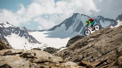
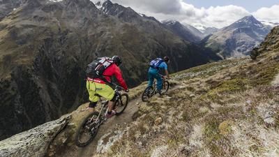
You start in Obergurgl. You quickly leave the tourist hustle and bustle in the rear Ötztal valley behind you as you follow the lonely sections of the road towards Langtalereckhütte. The rideable part ends at the hut - this is where the alpine adventure begins. After a short intermediate descent, the bike is shouldered. Via the Schwärtzer Steige, the route now climbs uphill in steep hairpin bends and over blocky steep steps. The first steel cables make it clear that you are in high alpine terrain here - absolute surefootedness is a must.
After a strenuous climb, you reach the saddle and are rewarded with a short but challenging intermediate downhill (S2-S3) - before the most striking section of the tour follows: the Piccard Bridge. The 0.7-metre narrow, 150-metre long and over 100-metre high suspension bridge is not for the faint-hearted. Ideally, the bike should be pushed on edge - a head for heights is absolutely essential here. The slight movement of the bridge provides an additional thrill.
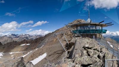
After the bridge, the next, sweaty climb begins - again with the bike on your shoulders - up to the spectacularly situated Ramolhaus at almost 3000 meters above sea level. If you like, you can stop off here and enjoy the impressive panorama of the glacier world around Sölden - an alpine box seat like no other.
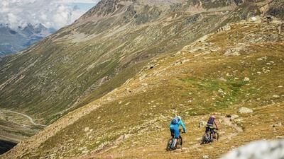
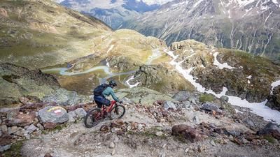
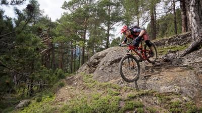
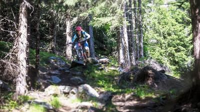
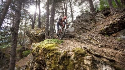
Then comes the next highlight: the descent back to Obergurgl. Technically demanding, rocky throughout, with difficulty S3, occasionally S4, the trail runs seemingly endlessly downhill. There are short, flowing sections in between, but it gets really challenging again in the lower section - tight hairpin bends, blocked passages and exposed sections demand full concentration. Finally, you cross the Gurgler Ache and roll the last few meters relaxed back to Obergurgl, where this high alpine tour comes to an end.
Note: The route is located on Austrian territory and leads over routes that are not approved for mountain bikers. Riding this route on a mountain bike is the responsibility of each individual, in full awareness of the legal situation.
Map & GPX-Track
The map is only available to Ride subscribers.
The Ride-Subscription is available at ride-mtb.com/abo
.
Details of the tour
19 km
1210 m
1210 m
1900 above sea level
2926 above sea level
1 day
Obergurgl
Obergurgl
3576
not suitable
More information
More tours nearby








User comments (0)

About the author: Martin Depauli
Note: This content has been automatically translated from German. Please report any incorrect translations.