

Mittlere Guslarspitze

Description
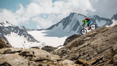
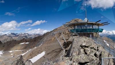
The route starts in the small, idyllic village of Vent. From here, the route initially rides steadily uphill on asphalt to the historic Rofenhöfe farms. After crossing them, you follow an unpaved cart track westwards to the valley station of the Vernagthütte cable car. From here, the alpine part of the tour begins: the bike is now pushed or carried up to the hut. Shortly before the Vernagthütte and at the crossing, some sections are still rideable, but the majority are not. After a short rest, the route continues - still on foot - to the summit of the Mittlere Guslarspitze at 3128 meters above sea level. A spectacular panorama opens up at the top: the Hintereisferner, the Gepatschferner and the strikingly towering Brandenburger Haus are all within your grasp - pure high alpine atmosphere.
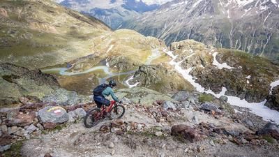
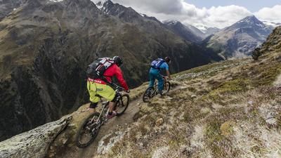
The descent begins right at the summit and demands a lot of technique: between S3 and occasionally S4, interspersed with flowing S1 sections, the descent is challenging. Pointe technique is clearly an advantage here, as is safe handling on loose and alpine terrain. In the upper section, a short, blocked intermediate section over granite slabs has to be tackled on foot. The trail then becomes increasingly flowy and reaches S1-S2 level before you reach the Hochjoch hospice - an ideal place for a short break in a high alpine atmosphere.
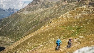
From there, follow the trail further down the valley to the Rofenache. The trail becomes more technical and challenging again, with sections at S2, sometimes S3, as well as some very exposed passages. Full concentration is required here again before a short ascent to the valley station of the material cable car. Back on the Karnweg, you roll eastwards, cross the suspension bridge (pushing) and finally return to Vent via a final, very flowy trail section, where the loop comes to an end.
Note: The route is located on Austrian territory and leads over routes that are not approved for mountain bikers. Riding this route on a mountain bike is the responsibility of each individual, in full awareness of the legal situation.
Map & GPX-Track
The map is only available to Ride subscribers.
The Ride-Subscription is available at ride-mtb.com/abo
.
Details of the tour
23 km
1190 m
1190 m
1892 above sea level
3074 above sea level
1 day
Sölden
Sölden
3573
not suitable
More information
More tours nearby








User comments (0)

About the author: Martin Depauli
Note: This content has been automatically translated from German. Please report any incorrect translations.