

Gaislachkogel

Description
The tour starts in Sölden. At the start, you can either take the Gaislachkogel cable car to the middle station or tackle this section on asphalt and gravel under your own steam. Most of the uphill section runs along the glacier road and offers impressive panoramic views of the surrounding mountains in places.
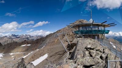
From the middle station, you can either work your way up on the ski slope or on the access road to the Gaislachkogel. Some very steep and lengthy passages require stamina until you reach the mountain station on the Gaislachkogel and the James Bond Spectre Museum at over 3000 meters above sea level. At peak times, it is very busy here, as the summit is easily accessible with the Gaislachkogelbahn 2 cable car and is a popular excursion destination.
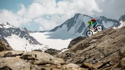
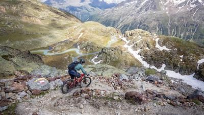
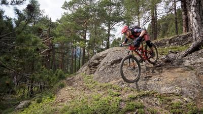
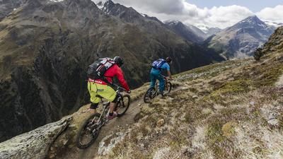
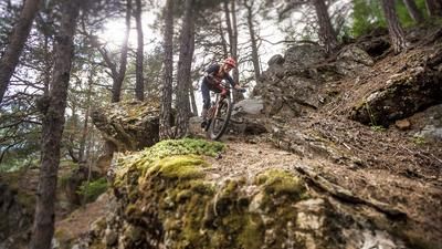
Away from the hustle and bustle, the route continues towards Lake Gaislach. The trail in this section is between difficulty S3 and S4 and is very selective to ride in the upper section due to the narrow path directly on the scree cone of the summit. From the lake, the trail descends steadily on classic granite terrain typical of the Ötztal Alps at difficulty level S3.
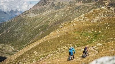
Finally, you join the official Fernar Trail, follow it for a few more sections and then branch off onto the Bodenegg Trail in the direction of Vent. As the Elevation loss increases, the trail becomes easier to ride until you finally reach the Venterstrasse at Bodenegg. From here, you roll along the Venter Ache river back to Sölden and finish by following a trail through the Kühtrainschlucht gorge. Alternatively, you can enter the bike park at the Bodenegg Trail junction and return directly to Sölden.
All in all, this is a high alpine tour with several challenging trail sections, which offers an impressive round tour, especially in the summer months, due to its altitude and length.
Note: The route is located on Austrian territory and leads over routes that are not approved for mountain bikers. Riding this route on a mountain bike is the responsibility of each individual, in full awareness of the legal situation.
Map & GPX-Track
The map is only available to Ride subscribers.
The Ride-Subscription is available at ride-mtb.com/abo
.
Details of the tour
26 km
1620 m
1620 m
1362 above sea level
2973 above sea level
1 day
Sölden
Sölden
3607
well suited
More information
More tours nearby








User comments (0)

About the author: Martin Depauli
Note: This content has been automatically translated from German. Please report any incorrect translations.