

Petznersee

Description
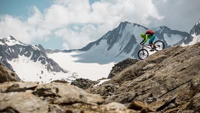
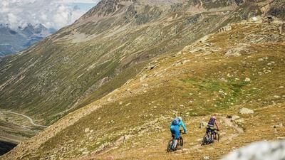
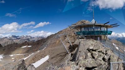
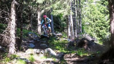
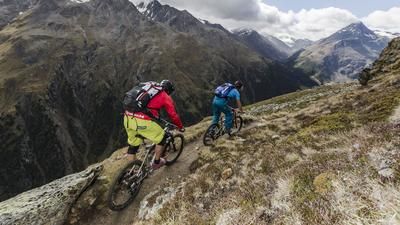
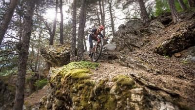
As with most mountain bikers in Sölden, the day begins with a gondola ride on the Gaislachkoglbahn. The first few meters of the tour are nothing out of the ordinary either, they take place on the well-known Teäre Line. Where the flow trail crosses the gravel road for the first time, normality comes to an end. You roll along the Bartiges-Bödele Trail to the mountain road that rides up to the Rettenbach Glacier. There are 600 vertical meters to overcome on this road until you reach the tunnel over to the Tiefenbach Glacier. This section of the tunnel is not attractive and it is advisable to take the public bus for this stretch. The bus transports bicycles. Over at the Tiefenbach Glacier, the long descent finally begins - the alpine trail starts right at the parking lot. There is not much left of the flat flow trails; instead, a practiced line choice and confident cornering technique are required here. The single trail rides through the rough terrain, then through a sea of alpine roses and finally through the alpine pastures down to the Gaislachalm. There is no end to the trail fun here, even though you are now back in the official bike area of Sölden. First the Lopples Trail and later the Nene Trail form the basis for the descent back to Sölden - both two very natural trails with a great fun factor. Only on the last few meters of the 1500-metre descent just above Sölden does the route ride a short section over a wide flow trail.
Note: The route is located on Austrian territory and leads over routes that are not approved for mountain bikers. Riding this route on a mountain bike is the responsibility of each individual, in full awareness of the legal situation.
Map & GPX-Track
The map is only available to Ride subscribers.
The Ride-Subscription is available at ride-mtb.com/abo
.
Details of the tour
20 km
1080 m
1885 m
1367 above sea level
2870 above sea level
1 day
Sölden
Sölden
1495
well suited
More information
More tours nearby








User comments (2)

About the author: Thomas Giger
Note: This content has been automatically translated from German. Please report any incorrect translations.
Great trail with difficulty S4
The trail from the glacier to the Gaislachalm is a designated trail of the Bike Republic Sölden: The Fernar Trail.
https://bikerepublic.soelden.com/de/home/streckenangebot/fernartrail.ht…