

Finstertaler Scharte

Description
The tour starts in the Tyrolean town of Oetz. The long ascent to Kühtai can either be tackled entirely under your own steam via the access road or shortened with the help of a shuttle or public bus - an option to save valuable energy for the rest of the route.
Those who tackle the ascent themselves follow the moderately to moderately steep asphalt road to Kühtai. Shortly before the village, turn right towards the Finstertal reservoir. The ascent runs through alpine terrain, finally via a tunnel passage up to the reservoir, which was built at the end of the 1970s. The adjacent Zwölferkogel and the steep granite walls give the area an imposing, high alpine character. Note: This section can be shortened by taking the chairlift transport with the DreiSeenBahn.
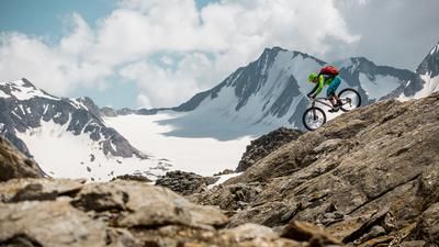
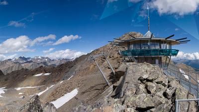
After the lake, the rideable section is short. The bike is pushed or carried for long stretches as you work your way up through boulders and slate slabs to the Finstertaler Scharte. The last few meters have an alpine character, but are easily manageable for sure-footed bikers. At the highest point of the tour, there is an impressive view over the high alpine landscape - bizarre, vast and almost surreal. A day trip that feels like a short vacation in another world.
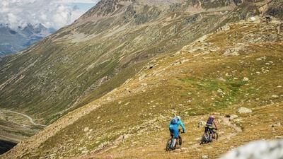
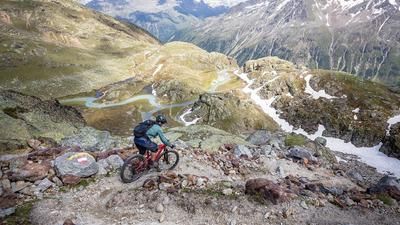
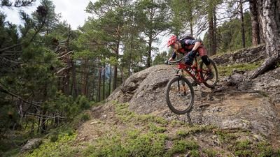
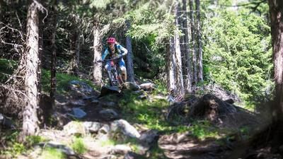
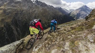
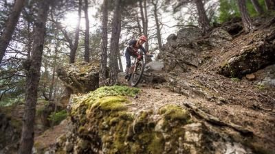
The descent begins technically and steeply: difficulty S3, occasionally also S4. The route over rough rocks and exposed sections requires full concentration and good riding skills. After the upper metres in altitude, the trail becomes increasingly flowing, but remains in the S2 to S3 range throughout - challenging, but homogeneously rideable up to the Schweinfurter Hütte.
From the hut, follow the 142 hiking trail out of the valley towards Lehen. There is another short ascent on gravel before the final trail section begins: another S2-S3 downhill, technically similar to the upper section, but less exposed. The trail stretches long and constantly downhill to Umhausen. After the intense and long downhill fun, you roll back to Oetz on the cycle path - away from the main road, through the valley of the Ötztaler Ache.
Note: This tour should only be undertaken in stable weather conditions. There are no huts or shelters in the upper area - there is increased danger in the event of thunderstorms or changes in the weather. In addition, the length and technical difficulty of the descent should not be underestimated.
Note: The route is located on Austrian territory and leads over routes that are not approved for mountain bikers. Riding this route on a mountain bike is the responsibility of each individual, in full awareness of the legal situation.
Map & GPX-Track
The map is only available to Ride subscribers.
The Ride-Subscription is available at ride-mtb.com/abo
.
Details of the tour
50 km
2060 m
2060 m
790 above sea level
2735 above sea level
1 day
Oetz
Oetz
3529
not suitable
More information
No bike shops are registered for this region. Registration as a partner takes place here.
More tours nearby












User comments (0)

About the author: Martin Depauli
Note: This content has been automatically translated from German. Please report any incorrect translations.