

Venter Gletscher-Trail

Description
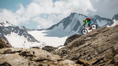
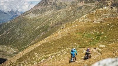
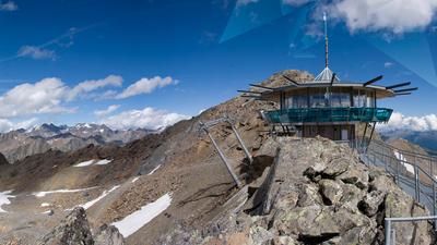
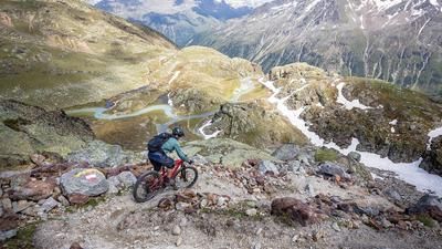
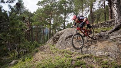
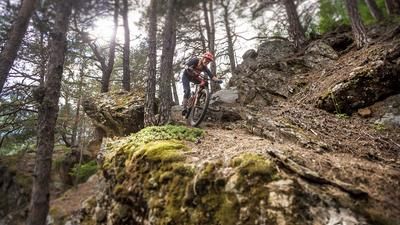
This high alpine descent should be high on the wish list of experienced enduro riders. Problem at the beginning: how to get to the starting point? The tough ones start in Sölden, the soft ones book a bus cab (e.g. Taxi Lenz) and take a nap for three quarters of an hour on the 1500 meters of altitude difference from Sölden to Rettenbachferner and on through the one and a half kilometer long, pitch-black tunnel to Tiefenbachferner. The clever ones take the cable car to the mountain station of the Gaislachkogelbahn 1, ride on the "Eebme Line" over to the Ötztal Glacier Road and crank up to the start on asphalt. Attention: The tunnel is officially closed to cyclists. If you don't mind, you should at least have an LED rear light with you. The "Venter Glacier Trail" adventure begins at the large parking lot at Tiefenbachferner at an altitude of over 2,800 meters. The granite, polished smooth by the glacier, provides the best slickrock feeling here in the high alpine terrain. The trail stretches south-westwards at lofty heights above the Venter valley. It is not particularly difficult in terms of riding technique (mostly S2 and S3), but the counter-climbs take a lot of grit. The trail is not a direttissima, but rather a slope crossing, so it does not lead down to Vent in one go. With a lot of downhill, but also some uphill, it runs along the steep slope to the Sonnenberg above Vent. If you want, you can still climb a good distance up towards the Breslauer Hütte within sight of the village. At the end, the trail winds down over a marshy meadow area to Vent. If you've run out of energy, take the road. The high alpine enduro dream ends in the old mountaineering village of Vent. From here, you roll down to Zwieselstein on fine asphalt (and a few tunnels and avalanche barriers) and continue on the main road to Sölden.
Note: The route is located on Austrian territory and leads over routes that are not approved for mountain bikers. Riding this route on a mountain bike is the responsibility of each individual, in full awareness of the legal situation.
Map & GPX-Track
The map is only available to Ride subscribers.
The Ride-Subscription is available at ride-mtb.com/abo
.
Details of the tour
37 km
910 m
1800 m
1360 above sea level
3184 above sea level
1 day
Sölden
Sölden
1940
well suited
More information
More tours nearby







User comments (0)
Note: This content has been automatically translated from German. Please report any incorrect translations.