

Suvrettapass

Description
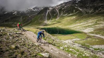
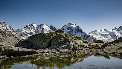
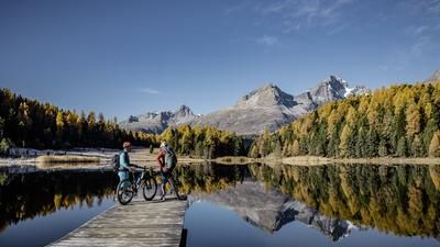
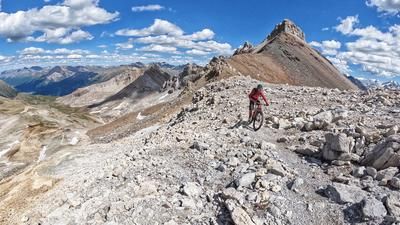
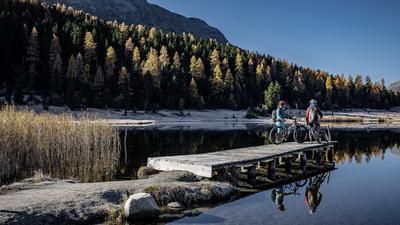
The tour starts in St. Moritz with a short descent to Celerina and then leads along the signposted mountain bike route (number 671) via Samedan and Bever to Spina at the entrance to Val Bever. The actual ascent begins here on an initially steep alpine road until you turn left at Alp Suvretta. The now ascending single trail once had to be tackled on foot. However, now that it has been significantly extended, it can be ridden in phases by fit mountain bikers. Nevertheless, many will still cover a few meters on foot here, while later in the high valley the route can be ridden again without any problems. It leads to Lej Suvretta, the idyllic mountain lake with the Bernina massif as a fantastic backdrop. The route now climbs another 270 meters in altitude until the highest point is reached at the Munt da San Murezzan chairlift mountain station. This is followed by a fast descent to Corviglia, where you take the flow trail downhill to Chantarella, which is now famous throughout Switzerland. On marked hiking trails, it is then not far to the center of St. Moritz.
Note: The Suvretta tour is often described in the opposite direction. In this form, it is somewhat easier and the ascent can be simplified by taking the Corviglia or Marguns cable cars. However, sporty singletrail enthusiasts are better off riding the route in an anti-clockwise direction as indicated.
Map & GPX-Track
The map is only available to Ride subscribers.
The Ride-Subscription is available at ride-mtb.com/abo
.
Details of the tour
30 km
1030 m
1030 m
1 day
Sankt Moritz
Sankt Moritz
1158
limited
More information
More tours nearby














User comments (8)

About the author: Thomas Giger
Note: This content has been automatically translated from German. Please report any incorrect translations.
Closure of hiking trail and mountain bike route Due to an increased risk of falling rocks, the hiking trail between Munt da San Murezzan point 2682 and Suvretta Pass point 2650 is closed. The mountain bike route "Suvretta Loop 671" is also affected by the closure. Duration: Until further notice .see Switzerland Mobile or Topo
I rode the tour today. Instead of the closed trail, I rode the Pistenbully trail on the far side up to the Fuorcla Schlattein pass. All rideable with the eBike. Then down to the Suvretta Pass on wonderful broken gravel. Great descent through Val Bever
Both directions are always cool - it just depends on your form on the day and what you like to do. Here's a small excerpt as a video, but here with the descent to Champfer/St. Moritz : https://youtu.be/OxgM9g4EeIA
I rode the tour today according to the recommendations, clockwise. The upper trail is fun, but from Val Bever the trail becomes a normal wide forest path and you lose a lot of altitude on this path. We found it boring. I will do the tour again but in the original.
I completely agree with Dave_D: In the "original" (clockwise) the tour is pure pleasure.
I can only agree with Dave. If you prefer riding to pushing, you should do the tour the right way round. Once you have completed the long but comfortable ascent, it's all downhill over a great trail and the beautiful Val Bever. According to SwitzerlandMobility, the ascent is 1,180 m.
I rode the SwitzerlandMobility 671 Suvretta Loop clockwise in the fall and was glad not to have ridden it counterclockwise. You really have to like single trail climbs in difficult terrain to ride them as described here. Some of it will be unrideable and the descent is very short. Clockwise, the climbs are steep and long, but once you reach the top you have the pleasure of riding quite long, moderately difficult single trails. From my point of view as a whole, the original 671 route is the better choice because everything is rideable.
cool alternative descent: instead of the flow trail, take the wm trail and then the fopettas trail down to champfer via alp suvretta