

Lag Serein

Description
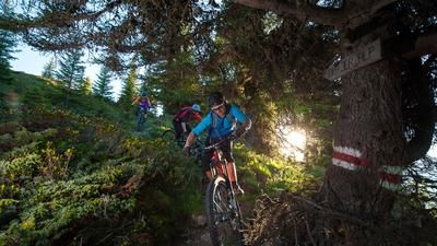
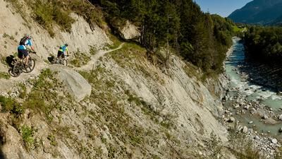
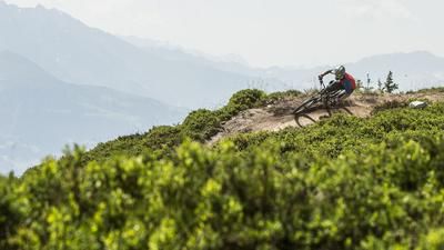
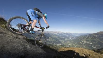
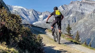
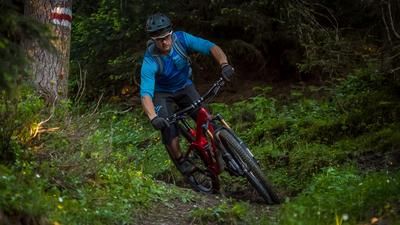
On the tour to Lag Serein lies one of the best descents in the Surselva. But the path to trail happiness has to be hard earned. From Rabius, you wind your way up the mountain road to Alp Glivers Dadens Sut. The steep alpine path afterwards is only theoretically rideable at the start - pushing is the easier mode of transportation here. After a short time in the saddle, the trail at the Jägerhütte hut forces you off your bike again. After about 20 minutes of pushing and carrying the bike, you reach a junction: left to the descent, right to the mountain lake. The detour to Lag Serein is worthwhile. It's a wonderful place to rest, and the bravest dare to take a dip in the cold water. The short downhill section to the junction is a mix of flowing sections and some challenging passages. The ascent after the junction, on the other hand, is again walking terrain. This is followed by a not too difficult descent to an alpine road. Here you climb another 50 meters uphill, but this short effort is worth it. This is followed by a fine trail with a slight gradient along the ridge to the alp. This fun section is followed by the real highlight - around 900 meters of the finest singletrail fun, first playfully across the alpine meadow, then steep and often challenging through the forest. Towards the end, the trail runs along the slope again in the direction of Rabius. But before the end, it climbs another 200 meters uphill at a pleasant gradient, where the last section of trail begins and offers plenty of downhill fun once again.
Map & GPX-Track
The map is only available to Ride subscribers.
The Ride-Subscription is available at ride-mtb.com/abo
.
Details of the tour
25 km
1890 m
1890 m
1 day
Rabius
Rabius
2567
limited
More information
No bike schools are registered for this region. Registration as a partner takes place here.
More tours nearby













User comments (2)
About the author: Balz Weber
Note: This content has been automatically translated from German. Please report any incorrect translations.
I did the tour today on an e-mountain bike. I think it works pretty well for this. On an e-bike, you ride as far as Mulegt Daden Su. After that, you can make it up the hill pretty easily in push mode. I rode it all the way to where the trails merge and left the bike about 30 meters below the lake. On the way back, you have to push the bike repeatedly up to waypoint 2226. From there, it’s rideable almost the whole way. The second ascent is a bit more grueling. But after that, it’s more or less rideable all the way down. It gets steeper below Muotta Crap Ner. But otherwise, the difficulty level is somewhere between S2 and S3. Well worth it!
If you don't want to hike up 1890 meters (or don't have an e-bike;)) you can also ride from Sumvitg via Vlavadi to point 1658 and then further up to point 1902 and from there over the really great, challenging trail back to Sumvitg... it was great fun!