

Schachen- und Schossrinn-Trail-Kombitour

Description
The ideal starting point for this great trail loop in the upper Priental valley is the large hiking parking lot at the entrance to the mountaineering village of Sachrang (738 meters above sea level), which can also be reached by public bus.
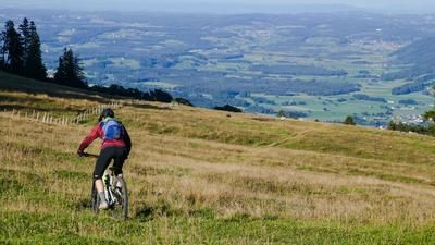
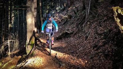
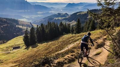
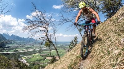
From the parking lot, first follow the signs in the direction of Priener Hütte/Geiglstein and leave the wide forest path to the left at 930 meters above sea level. Continue on a relatively flat alpine path to the Schachen-Alm (1032 meters above sea level). Trail no. 1 branches off to the left behind the alpine pasture into the valley. At the beginning, the trail is a little rough over sloping alpine pastures to the back of the Schachenberg (1076 meters above sea level). Now over a pasture fence into the forest. From now on, the trail rapidly increases in quality. However, an increased level of concentration is still required on the steep terrain. This perfect trail for experts (sustained S3) winds its way down into the valley to Grattenbach (700 meters above sea level) in countless hairpin bends, most of which can be ridden without turning.
The ascent to trail number two follows by first following the Priental cycle path out of the valley for around 500 meters in the direction of Aschau im Chiemgau. At a small parking lot, turn left onto a wide forest road on the west side of the Priental (Thumleite). Follow this road, initially without signposting, in the direction of Klausenhütte until the forest path branches off at 1143 meters above sea level in the direction of Schossrinn- or Angerer-Alm. Here, in the middle of the mountain forest, a trail starts inconspicuously to the south-east back into the valley, which crosses the ascent route again and again and - apart from one short section - is pure flow fun.
Back to the starting point in Sachrang is a leisurely ride into the valley on the Priental cycle path.
Map & GPX-Track
The map is only available to Ride subscribers.
The Ride-Subscription is available at ride-mtb.com/abo
.
Details of the tour
20 km
820 m
820 m
664 above sea level
1126 above sea level
1 day
Sachrang
Sachrang
1771
limited
More tours nearby






User comments (2)
Note: This content has been automatically translated from German. Please report any incorrect translations.
Very nice trails. Unfortunately, I had problems with the alpine farmer at the Schachen-Alm. He didn't want to let me get on the trail because he said it was "grazing land". Apart from the fact that it was a hiking trail, there wasn't a single cow to be seen for miles around. A cow, however, was.
To avoid any trouble, you should head straight onto the trail here without taking a long break. It may be possible to avoid the property if you follow the forest road a little further to behind the antennas and then descend about 50 meters through the forest to the parallel trail.
Thanks for your feedback - I'm glad you enjoyed the trails!
It's a shame that there are always conflicts like on the Schachen-Alm, even though riding on hiking trails is permitted in Bavaria. In Chiemgau, the situation is usually more relaxed than elsewhere. The bypass via the Antenne is hardly worthwhile due to the steep, pathless descent - it's best to enter the trail directly and quickly.
Have fun on the trails!