

Jakobshorn Ischalp-Abfahrt

Description
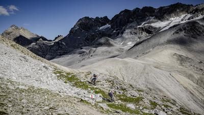
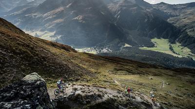
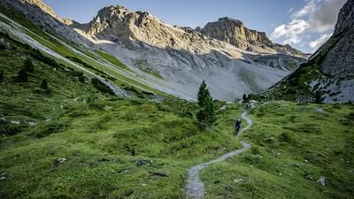
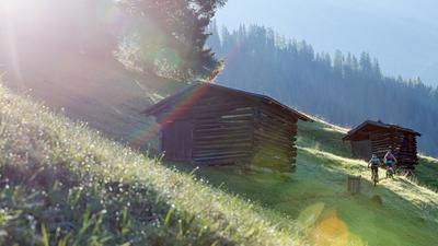
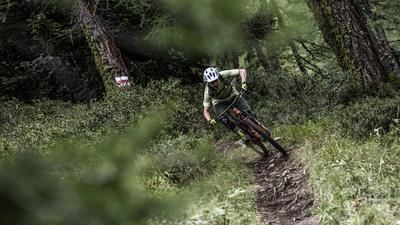
Sports enthusiasts can climb the Jakobshorn under their own steam by following the alpine road up to the summit via Clavadel and Clavadeleralp. The ascent is easy and only quite steep in the final section. However, most mountain bikers take the gondola lift up to the Jakobshorn, which rides all the way to the summit. The descent then begins steeply with the ridge path to Brämabüel. This section is a treat for good riders without a fear of heights, but for others the downhill fun begins in full on the hill above the Brämabüel station. The trail meanders gently through the partly steep terrain down to the reservoir - interrupted by a few hairpin bends. Now you roll along a small road for a few meters until the next trail begins on the right. This rides through a sea of alpine roses to Ischalp. A few meters of gravel road then lead to the bike trail, which rides a little below the Ischalp (middle station of the gondola lift) almost to the center of Davos. This trail is particularly fun, with lots of berms and flow sections.
Map & GPX-Track
The map is only available to Ride subscribers.
The Ride-Subscription is available at ride-mtb.com/abo
.
Details of the tour
20 km
1075 m
1075 m
1538 above sea level
2556 above sea level
1 day
Davos
Davos
1621
well suited
More information
Video
More tours nearby


















User comments (3)

About the author: Thomas Giger
Note: This content has been automatically translated from German. Please report any incorrect translations.
I started out by car in the Mittelland in the morning, then headed straight up the climb from 1,600 to over 2,500 meters above sea level—not the smartest move… In the upper section, I had to get off my bike quite a few times, but once acclimated, it was definitely rideable. I thought the ridge trail was awesome, and apart from one spot, it wasn’t too technically challenging. Below 2,200 meters above sea level, the GPX route follows a black trail—barely ridden—straight along the ridge. There’s an alternative route here via an easier and more heavily used trail heading southwest, which rejoins the GPX route below 2,100 meters above sea level. Right below Ischalp, I turned onto the Chügelibahn Trail, which then continues straight ahead down below—instead of turning right onto the forest road—directly to Bolgen Plaza, where I enjoyed a well-deserved beer. Amazing panoramic views, alpine terrain at the top, and a built flow trail at the bottom—an awesome ride!
Even though almost no one rides up this route themselves, here are a few notes on the climb: It’s easy up to Clavadel, but then it gets steeper, with a grade of 10 to 15 percent all the way to Clavadeler Alp. After that, it flattens out a bit temporarily, but from 2,200 meters on, it gets really steep again, with gradients exceeding 20 percent in some places. I mostly pushed my bike at that point, but fit riders can certainly ride the whole way. The last 150 meters of elevation gain are flatter again.
Due to strong gusts of wind, I didn’t ride the ridge trail but instead rode back down the road a bit and turned onto the trail further down. The descent is fun and not too technical.
I've often ridden up under my own power after the last train. That's when the light is at its most beautiful and the trails are deserted. From that perspective, riding up under your own power is actually an insider tip...