

Stockalperweg
Description
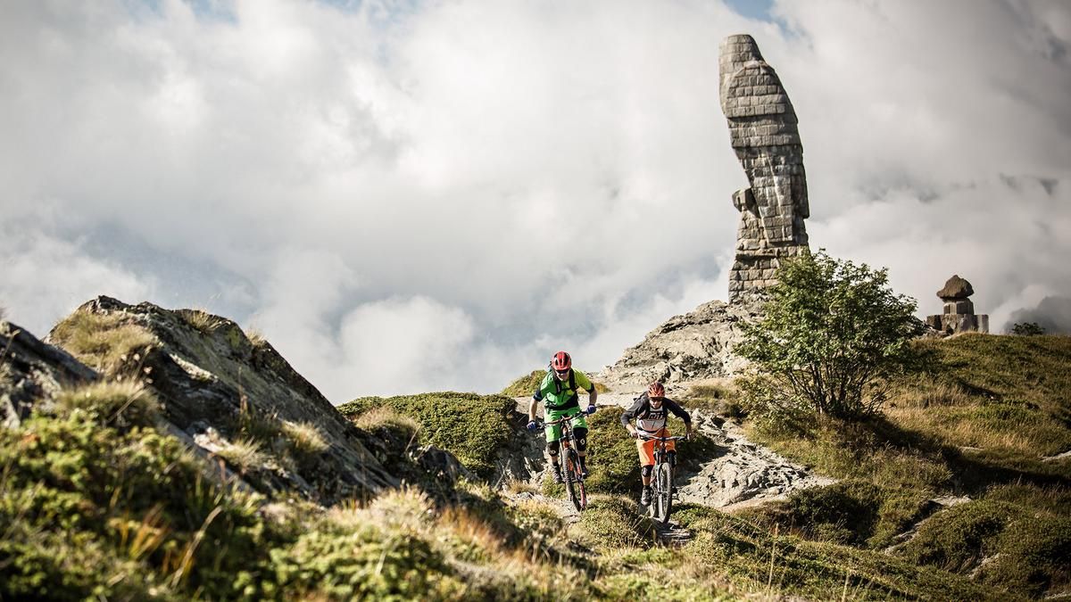
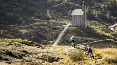
The tour begins early in the morning with a PostBus ride up to the Simplon Pass. From there, you start directly on the route and follow the signposted Stockalper Route toward Simplon Dorf and Gondo. The route runs almost entirely on singletrack and is notable for its varied terrain. Shortly before Gondo, the trail even passes through an old military tunnel. Once you arrive in the border village of Gondo, you board the post bus again and ride back to the Simplon Pass.
There, the second part of the tour begins with the descent to Brig. The trail toward Tafernabach is rugged, technical, and features tight switchbacks in the upper section. In an earlier route variant, the descent led all the way down to Grund before climbing back up to the Ganterhöhenweg via a small road. The newer and significantly more attractive variant branches off after the first steep section and a stretch along the stream, heading back uphill to the Simplon Pass road near Ganterwald. The official route follows the Simplon Pass along the pass road, mostly above the roofs of the avalanche galleries, up to this point. This variant is a good alternative, but the Ride version offers an even higher proportion of challenging singletrack trails.
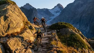
From Ganterwald, the descent to the Ganter Bridge offers a trail in a class of its own. On the opposite side of the valley, the route continues along the Ganterhöhenweg toward Brig. This spectacular super trail leads to the Schallberg Gallery. Immediately after the large cross, a winding path branches off to the left, leading down to Brei. The final kilometers roll gently along small roads all the way to Brig. There, you reach the historic town center, which, with its special atmosphere, provides a fitting conclusion to this extraordinary tour.
Map & GPX-Track
The map is only available to Ride subscribers.
The Ride-Subscription is available at ride-mtb.com/abo
.
Details of the tour
30 km
210 m
2685 m
677 above sea level
3148 above sea level
1 day
Brig
Brig
1024
well suited
More information
Video
More tours nearby









User comments (52)

About the author: Thomas Giger
Note: This content has been automatically translated from German. Please report any incorrect translations.
No, no headlamp necessary.
No, no headlamp, the fortress is illuminated.