

Fellhorn - Gernalm

Description
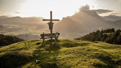
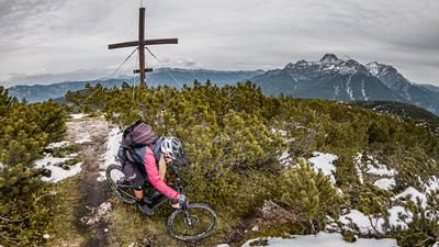
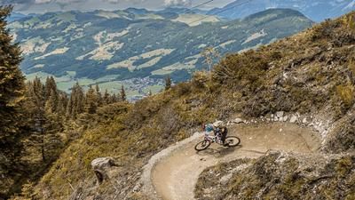
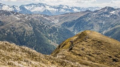
The starting point is the village of Erpfendorf in the Tyrolean lowlands. From here, it is a relaxed ride on the cycle path along the Ache river and later on a forest highway steadily uphill through beech forests to the Eggenalm (Straubinger Haus). Past there, the route continues towards Eggenlam Kogel, before you have to push or carry your bike up some rocky steps on the right and then continue along the ridge to the highest point of the tour, the Fellhorn (1765 meters above sea level). The summit impresses with its geographical and topographical location and offers a view of the Leogang and Loferer Steinberge mountains, the Hohe Tauern and the Kaiser mountains.
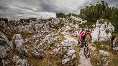
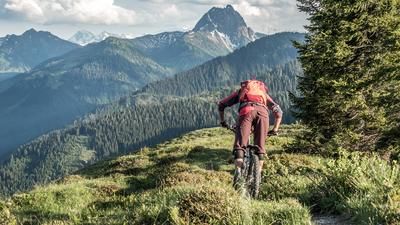
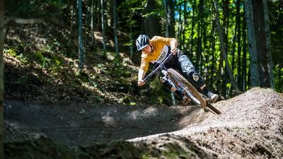
The descent is just as magnificent. The trail leads down towards Straubinder Haus on difficulty levels S1 to S2, S3 in places, a single trail in a class of its own. The limestone trail almost has a southern flair. For a short time, the ascent variant takes the form of a gravel road downhill before continuing on the trail past the Gernkogel to the Gernalm. Partly overgrown, especially in summer, on difficulty S3, it then goes down to Erpfendorf. There are a few key sections to master and concentration is also required to be able to circle the trail without making any mistakes. Finally, there are a few relaxed trail cut-offs that lead back to the starting point.
Note: The route is located on Austrian territory and leads over routes that are not approved for mountain bikers. Riding this route on a mountain bike is the responsibility of each individual, in full awareness of the legal situation.
Map & GPX-Track
The map is only available to Ride subscribers.
The Ride-Subscription is available at ride-mtb.com/abo
.
Details of the tour
21 km
1100 m
1100 m
629 above sea level
1735 above sea level
1 day
Erpfendorf
Erpfendorf
2729
not suitable
More information
More tours nearby










User comments (3)

About the author: Martin Depauli
Note: This content has been automatically translated from German. Please report any incorrect translations.
I agree 100% with the comment from d.pfeufer_78895. It is also inconceivable that it was recommended at an earlier point in time - how do you come to post this tour WITHOUT such an explicit reference?
Absolutely not recommended
Beautiful ascent and great views.
However, the descent is completely overgrown. The long crossing quite high up is in very poor condition - hardly rideable.
The actual descent is incredibly steep and full of rubble and branches. Really not recommended!
Unfortunately, like so many paths, it is hardly maintained any more, although the storms in 2022 and 2023 also made things worse.