

Monte Dobis

Description
The tour starts in Tolmezzo near the Torrente Büt near Caneva. Initially on a relaxed cycle path, the route heads north for a few meters and then continues on asphalt up some serpentines to the village of Fusea. Passing through Fusea on the main road towards Dintions, you stop pedaling at around 850 meters above sea level. Here the bike is pushed up to Monte Dobis. Not quite at the highest point of the tour is the summit cross with a great view. The confluence of the Torrente Büt and the Tagliamento is impressive. Monte Amariana and Monte Verzegnis in particular catch the eye when the visibility is good and the air is clear.
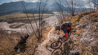
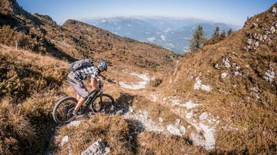
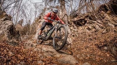
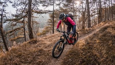
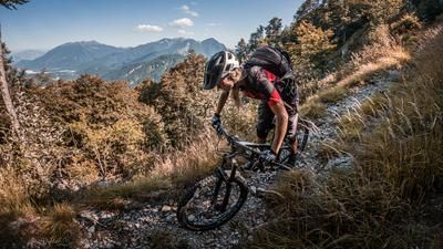
From the panoramic point, the route then climbs a few meters before the descent begins. At difficulty levels S1 to S2, occasionally S3, you cross the entire mountain ridge towards Fusea. The trail offers a good variety with some hairpin bends and flowy passages. In the middle section (Ciottolato), you can see that the trail was used in the past, as it is partly walled and paved. In Fusea, you are then briefly on asphalt and cross the ridge towards Bosco Milias. From Bosco Milias, the route then descends steadily on a flowing trail with a difficulty of S1 to S2. Shortly before the Strada della Pieve, a section becomes particularly selective, whereby the last few meters should rather be pushed, as a descent in this area would be "indelicate". The Strada della Pieve is then crossed as far as the church of Pievedi Santa Maria oltre But, where the final trail section begins. Seemingly endless stairs with a difficulty of S2 to S3 lead down to the valley floor, where you rejoin the cycle path and roll back to the starting point.
Map & GPX-Track
The map is only available to Ride subscribers.
The Ride-Subscription is available at ride-mtb.com/abo
.
Details of the tour
14 km
680 m
680 m
325 above sea level
1004 above sea level
1 day
Tolmezzo
Tolmezzo
2783
limited
More information
More tours nearby








User comments (2)

About the author: Martin Depauli
Note: This content has been automatically translated from German. Please report any incorrect translations.
Rode the tour today before the rain started. On the way to the summit, the bike has to be carried in places. A little surefootedness is required here. The descent is very flowy. Some of the trail starts are not so easy to find, but the GPS data is correct.
Our BnB is located about 40 minutes by car from the starting point of this tour and directly on the trail area of Gemona of Friuli.
https://www.bnb-bondigemona.ch/