

Monte Spin

Description
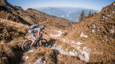
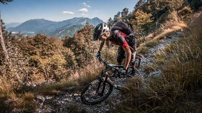
The starting point is the village of Terzo/Lorenzaso. From here, the cycle path climbs uphill on asphalt past Casanova and a few hairpin bends towards Fusea. Cycle through Fusea and steadily uphill on a moderate gradient past Cazzaso and on towards Marcelie. From Marcelie, the route continues on a gravel and cart track at the info point before you have to push your bike towards Monte Spin. Just after the highest point of the tour, there is a small vantage point where you can enjoy the view in good weather. This is the highlight of the tour, especially in spring and autumn, when visibility is good and there is little vegetation.
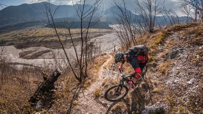
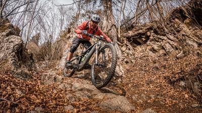
The descent is difficulty S2 on natural terrain past Bosco Selva towards Borgo La Maine. Once you arrive here again, take the cycle path along the Torrente Büt back to the starting point. Note: From the summit of Monte Spin, you could use the "Marc-Trail 2.0" for the descent.
Map & GPX-Track
The map is only available to Ride subscribers.
The Ride-Subscription is available at ride-mtb.com/abo
.
Details of the tour
16 km
515 m
515 m
350 above sea level
858 above sea level
1 day
Terzo
Terzo
2788
well suited
More information
More tours nearby







User comments (2)

About the author: Martin Depauli
Note: This content has been automatically translated from German. Please report any incorrect translations.
The altitude is not quite correct. It is almost exactly 670 meters up. The path for the descent is apparently no longer used and certainly not maintained. Partly overgrown under grass and low bushes, the super narrow path is difficult to make out. Perhaps it would be better to take the alternative.
Our BnB is located about 30 minutes by car from the starting point of this tour and directly on the trail area of Gemona of Friuli.
https://www.bnb-bondigemona.ch/