

Monte Arvenis Südabfahrt

Description
The tour starts in the idyllic village of Villa Santina, at the confluence of the Tagliamento and Torrente Degano rivers. From here, you follow the official cycle route, which runs along a former railroad line, in a northerly direction to the small village of Ovaro, just before Comeglians. Here the ascent begins with several hairpin bends, first on asphalt, later on gravel, and rides steadily uphill. The route rides past Malga Arvenutis and on to Malga Claupa. Malga Claupa is located in a saddle that forms the natural watershed between north and south.
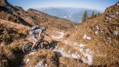
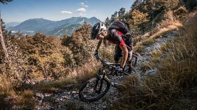
The route continues along an old mule track, a former war path from the First World War, past Monte Claupa. The path becomes increasingly difficult until the bike finally has to be pushed or carried to reach the summit of Monte Arvenis. As with many military constructions, the view from the summit is breathtaking: the striking peaks of the Carnic Alps and the surrounding valleys, especially the view to the south over the Tagliamento to Tolmezzo, are unique.
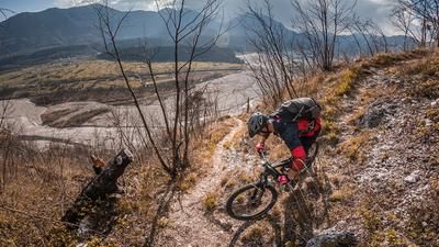
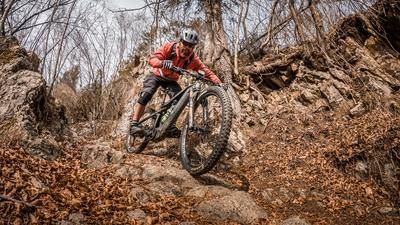
The descent begins with a technical section that initially reaches difficulty levels S3 and S2 and later flattens out to S1. This is followed by a short ascent before heading towards Val di Lauco on Sentiero 165. This former war trail also has sections with difficulty levels S2 and S3. Special care is required here, as the path is overgrown in places and precise riding is required. The trail reveals its full potential after around 150 meters, although it is difficult to spot at first.
In Val di Lauco, you continue along the Cimenti trail, a mule track, back to Vinaio. This section begins with small up and down sections before some inviting passages follow. Here, however, it is necessary to push at the large water crossings, as the path has been damaged by erosion in some places. Another counter-climb awaits in Vinaio, followed by a very flowing section to Lauco.
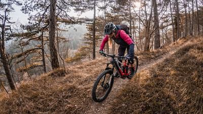
The final highlight awaits in Lauco: the trail begins on a perfectly paved mule track, which becomes increasingly narrow and climbs up to difficulty level S2+ before finally leading back to Villa Santina, where the breathtaking loop comes to a close.
Map & GPX-Track
The map is only available to Ride subscribers.
The Ride-Subscription is available at ride-mtb.com/abo
.
Details of the tour
36 km
1590 m
1590 m
362 above sea level
1886 above sea level
Villa Santina
Villa Santina
3337
limited
More information
More tours nearby








User comments (0)

About the author: Martin Depauli
Note: This content has been automatically translated from German. Please report any incorrect translations.