

Giaideit

Description
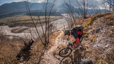
The tour begins a little east of Tolmezzo in the district of Betania. From here, you pedal steadily uphill on a paved road towards the small village of Illegio. The ascent impresses with its spectacular embedding in the rocks and makes for good progress. Shortly before the village, in a gravel bed, you come across some lost places from the Cold War, some of which are still used by the Guardia di Finanza and the military for target practice. It is therefore not unusual to hear gunshots here - don't be alarmed.
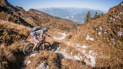
On arrival in Illegio, you cross the village at a slightly gentler pace before the long ascent to Pra di Lunge begins. After this climb, you cross the entire ridge, but lose a few meters in altitude on gravel before the trail finally rides to the highest point of the tour, the Giaideit. The trail entrance is a little further ahead, but if you want, you can take your bike all the way to the summit. The descent from the summit includes a few technical sections where you may have to descend briefly. A panorama board with an overview of the striking surrounding peaks awaits at the summit. For the relatively low altitude, the Giaideit offers a surprisingly rewarding panorama.
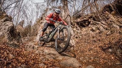
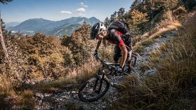
The first trail section leads from the summit to the gravel road. The difficulty is between S2 and S3. The trail consists of a mix of earth and limestone, whereby conditions can vary greatly after extreme weather events. You then return to the saddle and use the southern descent on an old mule track. This section is less technically demanding (difficulty S1 to S2) and rides gently downhill. However, some eroded sections can be more challenging depending on the weather conditions.
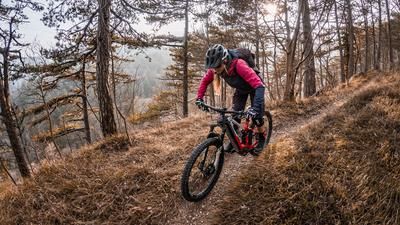
The next trail section begins in Illegio. The trail rides south through wooded areas. The difficulty remains at S2 as you follow a mule track or hiking trail. The stony ground and loose scree make the descent exciting, but also challenging.
The tour ends with a ride through an old industrial area with abandoned warehouses and buildings. From there, you follow the Torrente Cornons back to the starting point in Betania.
Map & GPX-Track
The map is only available to Ride subscribers.
The Ride-Subscription is available at ride-mtb.com/abo
.
Details of the tour
25 km
830 m
830 m
324 above sea level
1040 above sea level
Tolmezzo
Tolmezzo
3370
limited
More information
More tours nearby








User comments (0)

About the author: Martin Depauli
Note: This content has been automatically translated from German. Please report any incorrect translations.