

Monte Jof

Description
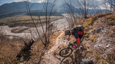
The tour starts in the heart of Friuli, in the small village of Socchieve, west of Tolmezzo. A short, steep asphalt downhill awaits right at the start, riding through the district of Nonta. You then roll along the main road through Ampezzo for a short time until you turn off onto a gentler climb before the Sella di Cima Corso.
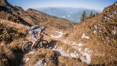
The uphill runs with medium to moderate gradients up towards Monte Jôf. The area once belonged to a small ski area with a drag lift, which has since been closed down. Today, this place is almost deserted and free of tourist infrastructure - a quiet spot with a beautiful view. In the area of the former mountain station, you can enjoy an unobstructed view to the north of Monte Brutto Passo and to the west of the Dolomites.
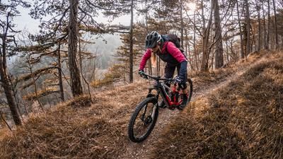
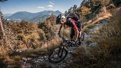
Afterwards, the descent begins on Sentiero 241 - a flowing trail that runs downhill in a homogeneous manner with difficulty levels S1 to S2. The metres in altitude fly by in a flash, as the trail is technically pleasant and allows for a continuous flow. From the Località Casolare Lunas, an asphalt road continues down to the Tagliamento.
There you cross the river on the former military road towards Forcella di Priuso and begin the next ascent to Monte Corona. This inconspicuous hill was once part of the Vallo Alpino and was heavily fortified for military purposes. This is particularly evident on the descent.
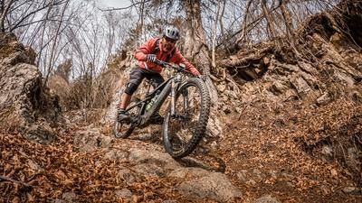
The Sentiero 239 is steep and technically demanding - at S2 level for long stretches, and S3 in places. The trail leads down to Casarole Dalchia, where you come across several massive bunkers that are still well preserved today and form an impressive contrast to the otherwise tranquil surroundings.
On the valley floor, you finally reach the confluence of the Torrente Lumiei and Tagliamento rivers. The return is via a ford across the river - easily passable depending on the water level - and then over the last few meters back to Socchieve, where the loop comes to an end.
Map & GPX-Track
The map is only available to Ride subscribers.
The Ride-Subscription is available at ride-mtb.com/abo
.
Details of the tour
25 km
950 m
950 m
406 above sea level
1136 above sea level
Socchieve
Socchieve
3467
well suited
More information
More tours nearby








User comments (0)

About the author: Martin Depauli
Note: This content has been automatically translated from German. Please report any incorrect translations.