

Celestuz

Description
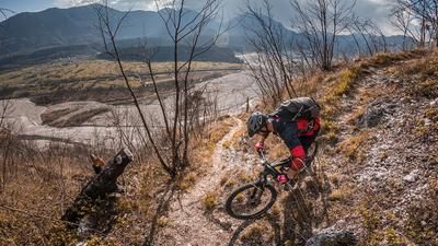
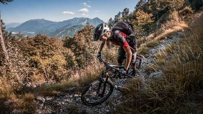
The ride starts at the former Polveriera di Pissebus. From there, follow the old railway line—now a bike path—toward Tolmezzo, before pedaling uphill on paved roads through the residential area via Rivoli Bianchi and taking the very steep gravel path below the rock formations toward Monte Amarianute. In the area of the debris barrier, you cross beneath it and carry your mountain bike uphill from approximately 600 to just under 800 meters above sea level. This marks the highest point of the tour. Here lie the former agricultural lands of Celestuz, which today are recognizable only as a “lost place.” The view is particularly impressive in spring and fall when vegetation is sparse.
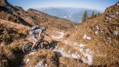
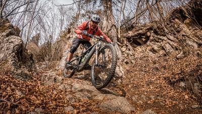
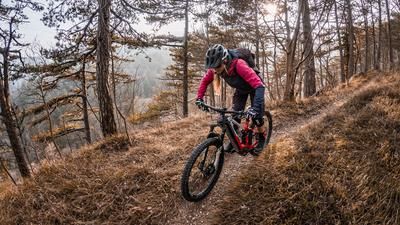
The trail descent then begins. Somewhat challenging in the upper section at difficulty level S2 and occasionally S3, the trail then descends very smoothly at difficulty levels S1 and S2 down to the debris dam. This is followed by extremely smooth downhill sections through Rivoli Bianchi, which delight with their very Mediterranean flair. Finally, you reach Via Pissebus and pedal back to the starting point.
Map & GPX-Track
The map is only available to Ride subscribers.
The Ride-Subscription is available at ride-mtb.com/abo
.
Details of the tour
10 km
460 m
460 m
292 above sea level
739 above sea level
1 day
Pissebus
Pissebus
3704
not suitable
More information
More tours nearby








User comments (0)

About the author: Thomas Giger
Note: This content has been automatically translated from German. Please report any incorrect translations.