

Lac Chamolé

Description
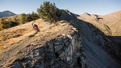
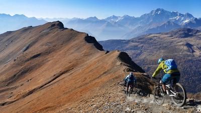
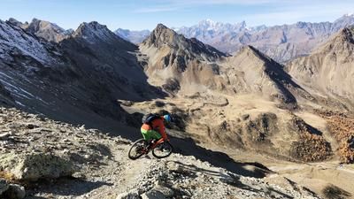
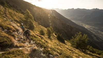
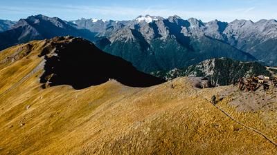
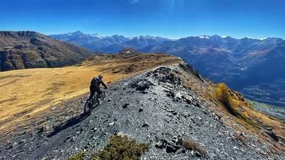
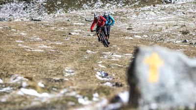
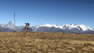
The descent starts at the top station of the Pila Bikepark chairlift. Here you climb a well-developed trail to Lac Chamolé and push your bike up a little further to a small hill. Now the singletrail fun begins. The trail winds its way through the alpine roses and branches off at Col Plan Fenêtre to Alp Comboé. Now comes the downer of the tour: a long downhill section on the steep alpine road. Before a bridge after Alp Ponteilles, turn right onto a single trail and follow it for a while until it climbs steeply. Here the path is often a little slippery, but generally passable. Now you have to carry your bike up around 150 meters until the sensational descent to Chenaux begins. Sometimes steep, then flat again, sometimes velvety soft, then rough again, the path leads past the hamlets of Barme and Terre Blanche. In Chenaux, you ride past the military area and reach the cycle path that leads along the river back to the valley station of the Pila cable car.
Map & GPX-Track
The map is only available to Ride subscribers.
The Ride-Subscription is available at ride-mtb.com/abo
.
Details of the tour
17 km
165 m
1905 m
555 above sea level
2356 above sea level
1 day
Pila-Ciel Blu
Aosta
1557
well suited
More information
More tours nearby















User comments (9)

About the author: Thomas Giger
Note: This content has been automatically translated from German. Please report any incorrect translations.
Overall, the tour is really nice and fun. But the section where you have to cross the stream and then carry or push your bike up the other side—that’s just ridiculous! There are also a lot of fallen trees on the trail.
We rode the trail today with 7t. With the following changes, it was an absolutely great and technically difficult tour: First, about 80m up to the Punta Replan summit. The view is definitely worth the effort. The (short) descent from the summit is also nice and steep. The decisive improvement then: instead of the gravel road to Alp Ponteilles, we took the hiking trail (dotted black on the map) parallel to the stream/river, i.e. we left/shortened the red line 3 times. This hiking trail is sensational; steep, many switchbacks, sometimes difficult, and you have a great photo spot at the waterfall. I don't know why it's not part of the original tour.
Up Hui down Pfui!!!
The upper section after the lake is really cool, great views and really flowy trails.
The lower section after the long descent over the gravel road is really not worth the effort, the hiking trail to the stream bed has not been ridden or walked for a long time and the passage through the stream bed including the counter ascent is really no fun.the trails afterwards are quite funny again.
Ridden on 06.09.2017: I absolutely loved the trail. The trail was ridden a little differently: before the bridge (approx. 1640m.a.s.l. directly on singletrail / signpost on the right) crossing stream bed is to be mastered with effort. Attention: only possible at low water!
Unfortunately, the sections described last year are even more overgrown.
The trail is barely recognizable.
Next time I would return to the chairlift after the upper section.
So there used to be a bridge :-)
Nevertheless, even without the bridge, it's absolutely worth it, we rode it today. Crawling through the riverbed and then carrying/pushing the bikes up is a bit tough, but it's possible.
What I wouldn't do to myself again is the trail section directly after the longer gravel path descent. It's quite bumpy and unfortunately almost flat, so it was very rough, at least for me, and I often had to dismount. Next time, just continue along the gravel road for a few more meters and then get back onto the (somewhat closed) trail.
According to xy's comment, we were prepared for anything and prepared ourselves for an arduous tour. And that's exactly what happened! Overgrown 200m, no bridge and a tough 20' uphill (carry). This is about 1.5km of the route. With a total length of 15km, we think this is manageable. The rest of the tour is absolutely awesome! Very flowy and incredibly varied scenery. Perhaps precisely because we prepared ourselves for "everything", we were pleasantly surprised! All in all, a thoroughly successful downhill. I can only recommend this tour!
By "xy" I of course mean "guido" ((=
We rode the trail on July 14, 2016 and the part after the forest road, including the ascent on the opposite side of the stream, is almost overgrown. The bridge by the stream was washed away during a storm and the trail has not been maintained since then. I can therefore only recommend the trail to a limited extent.