

Madritschjoch

Description
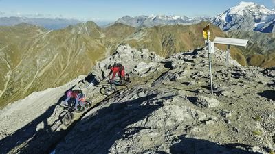
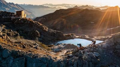
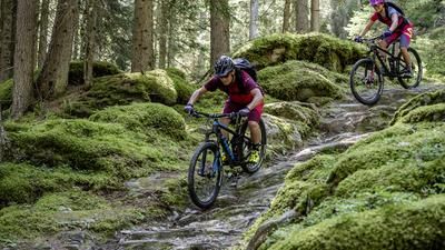
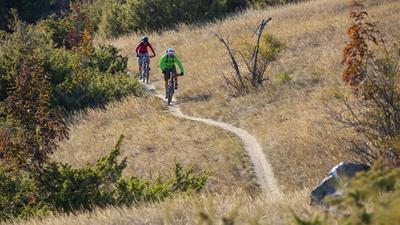
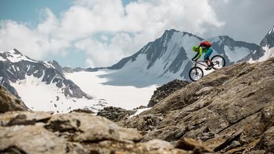
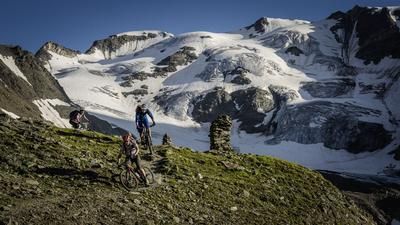
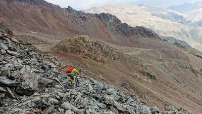
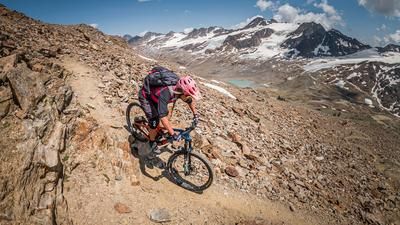
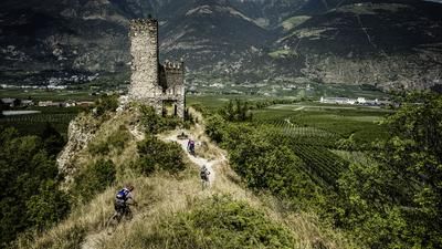
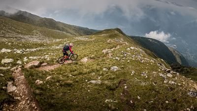
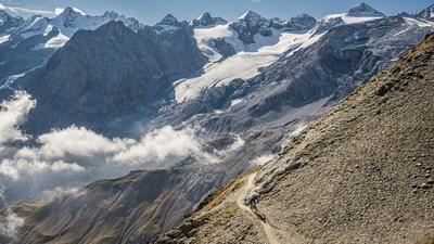
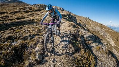
Many people start the tour to the Madritschjoch in Spondinig - usually with a shuttle up to Sulden or, as in this case, under their own steam via the Vellnairalm. To do this, you first roll to Prad and then climb up a small road to Maso Valclara. The road then turns into a gravel path that leads past the Vallnairalm to Malga Varnera. Follow a mountain path and then a fun but challenging single trail down to Waldruhe. From here, you roll along a small road to Sulden and finally to the valley station of the gondola lift. This is where the second part of the tour begins, with the Madritschjoch as the highlight. The ascent with the gondola is worthwhile, the ascent under your own steam would lead over a very steep gravel road. This is roughly what the path from the Schraubachhütte up to the Madritschjoch looks like. Very strong mountain bikers ride almost the entire ascent, only at the very end do you have to push your bike a few meters up to the Madritschjoch. The panorama of the Ortler, Könisspitze and Cevedale is simply stunning. Just like the singletrail descent. This initially leads very technically through the high alpine terrain, then becomes smoother and faster, leads through the wonderful high valley to the Zufallhütte and then always follows the 36er trail through the entire Martelltal valley. The descent is so long that you hardly want to stop. And at the very end there is the super trail from the Untermontani ruins down to Latsch or Goldrain. The ideal way to get back to Spondinig is with the Vinschgau cable car.
Map & GPX-Track
The map is only available to Ride subscribers.
The Ride-Subscription is available at ride-mtb.com/abo
.
Details of the tour
57 km
1900 m
2800 m
1 day
Prad am Stilfserjoch
Goldrain
1445
limited
More information
More tours nearby















User comments (8)

About the author: Thomas Giger
Note: This content has been automatically translated from German. Please report any incorrect translations.
I did the tour again—this time in mid-September 2026 on an e-bike. It’s perfect for this route. At the reservoir, we had to take the road because of construction. The trail section between the dilapidated hotel and Schmelz is very technical and not for everyone.
At the reservoir—as described in the tour—there’s currently a construction site and the trail is closed! You’ll be rerouted (about 100 meters in elevation) up a steep climb and down a steep descent; parts of it are not rideable.
Trail 36 after the reservoir is also—as described by previous riders—a bit challenging. But it does have some nice trail sections as well.
Did the tour in July 2025 and it is pure perfection! We took the lift from Solden to Schaubachhütte (20€ per person including bike) and biked / hiked the wide path up to Madritsjoch from there. The view from the top is amazing. The first 50 altitude meters down from Madritsjoch towards Zufallhütte are not rideable but thereafter the trail is world class all the way down to Zufallhütte.
After Zufallhütte the trail gets worse and I would recommend riding the street rather than the trail from the Ex Hotel Paradiso di Gio Ponti all the way down to Gand. In Gand the 36 trail becomes flowy and from then on it just keeps getting better and better all the way down to the valley floor.
Don't miss this incredible tour!
Tour from 11.08.2022
The Madritschjoch is a very demanding tour in terms of fitness, depending on where you start from, where you use shuttle or rail assistance and whether you ride with or without an e-bike. In any case, the partial stage options allow for variable planning and an assessment of the physical and technical demands. The RIDE tour description is apt up to the summit.
From the summit, however, the first section (approx. 200 m uphill) cannot be ridden by any biker, as the steep and narrow path and the high stone blocks do not allow this. This is followed by the usual flow, interrupted by two short, crisp running sections, which can be ridden as far as the Zufallhütte. From there, unfortunately, the trail designation "36" is missing, which is only visible on the subsequent descent to the parking lot of the Martellerhütte, located just before the Alpengasthof Schönblick. If you now follow the 36 trail on the right side of the river towards the reservoir and along it, at the end of the lake you are faced with crisp short Sigle Trail climbs which later lead into an unrideable blocked mountain path; all unrideable, a continuous up and down. Tip: Leave the trail at the first opportunity to the main road running parallel to it and immediately follow the gravel path to the left of the main road downstream and later on great single trails to Obermontani Castle.
It is even better to ride downhill on the main road from the hotel by the lake (start of the reservoir) to the biathlon center and then enjoy the endless fast trail downstream.
Always a super cool tour. At the castle ruins, you have to open a gate to continue along the trail to Goldrain. At first I thought the castle was private and doubted whether I would be allowed to open the gate, but it would be a shame to miss this part.
As described above, a mega thing ! - Here is a small part of the panorama : https://youtu.be/QzMKwqAsGLg
Madritschjoch is an amazing tour! We've already done it several times and have now put together a cool variation...
With the shuttle (SüdtirolBike) from Prad to Sulden, with the cable car up to the Schaubachhütte. Then Madritschjoch via Rifugio Nino Corsi and Zufrittstausee to enjoy the trails :-)
In the Martell Valley near Ganda, we ride up to the left via Thal to Premstla and on to the Göflaner Schartlkamm. Down this and at the end over the Holy Hansen to Göflan. To relax, take the cycle path back to Prad.
Ascent on the bike approx. 1900hm, descent just under approx. 3800hm
If you are fit, this is a really easy tour!
That sounds great. Do you have the GPX data for your tour?