

Punta Fetita

Description
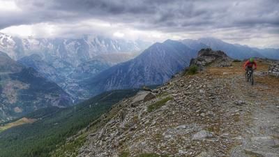
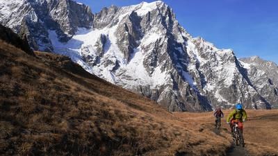
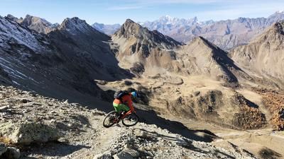
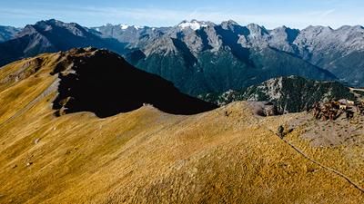
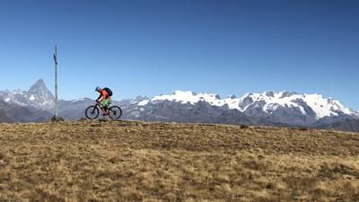
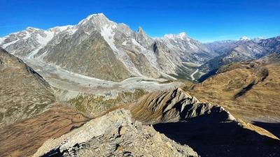
The starting point of the tour is the picturesque village of La Salle in the uppermost part of the Aosta Valley. The tour up to the summit of Punta Fetita initially rides along a paved mountain road to Challancin. If you want to save yourself the first 800 metres in altitude (and thus half of the ascent), organize a shuttle to this point. You will then need your own muscle power. A gravel road leads up to Alp Ors, a pleasant ascent up to this point. Now the road becomes steeper and rougher. This is how you reach the Alp Tramail des Ors. Pushing is now the order of the day up to Col Fetita a little above, but very well-trained mountain bikers can manage large parts of this section by riding. A little below the pass, turn right, follow the trail to the ridge and put your bike on your shoulders. The last section is not rideable. But at the top you are rewarded with an almost overwhelming panorama. Grand Paradiso, Mont Blanc, Grand Combin and Monte Rosa are all vying for attention at the same time.
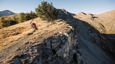
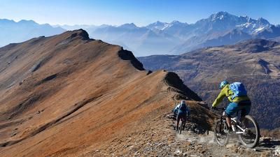
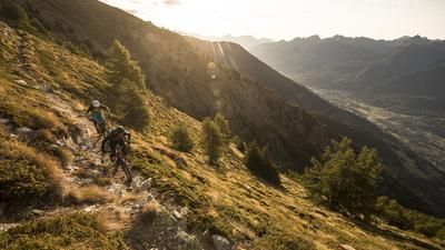
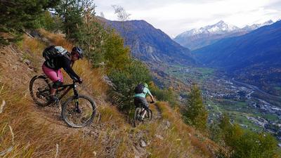
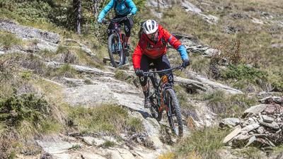
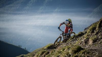
The real highlight is yet to come: the descent over the ridge to La Salle. The first few meters are still a little tricky, then a kind of flow massacre follows up to the Col de Bard. The trail winds along the ridge as if someone had tried to build the perfect bike trail. With an extra load of endorphins, you reach the Col de Bard and follow the trail along the ridge, climbing a few more meters. Immediately after a large meadow, turn right into the next downhill highlight. The trail that follows is much more challenging, however, and a few meters on foot are necessary from time to time. The little-used path leads through a wild and romantic larch landscape down to Vedun. Now it's time for the finale: the easy path to La Salle through the very steep terrain is one of the best routes in the Aosta Valley. But beware: at one point through a rocky passage, the terrain is so steep that a few meters have to be done on foot. The rest is first-class and the perfect end to a great singletrail tour.
Note for e-mountain bikers: The tour is easily doable on an e-mountain bike, except for the last section up to the summit. If you are prepared to shoulder the e-bike for around ten minutes, you can also tackle the route with motor assistance.
Map & GPX-Track
The map is only available to Ride subscribers.
The Ride-Subscription is available at ride-mtb.com/abo
.
Details of the tour
31 km
1680 m
1680 m
965 above sea level
2594 above sea level
1 day
La Salle
La Salle
2096
limited
More information
More tours nearby





















User comments (3)

About the author: Thomas Giger
Note: This content has been automatically translated from German. Please report any incorrect translations.
We also found the tour beautiful and varied. In good weather, the view at the top is really fantastic. From the last mountain pasture, the ascent is quite exhausting. The descent is also very scenic until the counter-climb. After that, it's probably a matter of taste. There are always very steep and bumpy sections, at least with my riding ability I had to descend a few times too often for flow. On other tours with technique 4, I have to descend much less. I also found more than one exposed section. You have to be vigilant at all times, in case of doubt it's a thorn bush that suddenly attacks from the side ;).
Nevertheless, a rewarding tour, even for me.
We did the tour last week - and were overwhelmed!
However, we booked a shuttle (from Courmayeur) to Challancin - the tour is tough enough as it is!
The descent is very varied, both scenically and technically. From the short counter-climb across a meadow, a wonderful technical trail follows in a lonely, beautiful landscape.
Further down, the trail is very exposed in places, so we descended (not dangerously, but as a precaution).
A bus rides from La Salle to Courmayeur - took the bikes in the luggage rack without any problems!
Thanks for the great tour!
Hello, seems to be a great tour. I would like to know which shuttle you booked from Courmayeur.
Thank you very much