

Punta Leysser – Villaret

Description
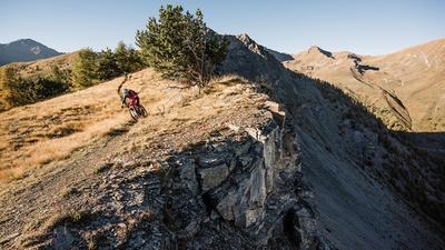
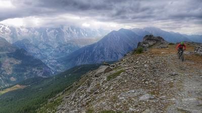
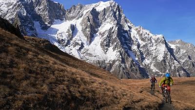
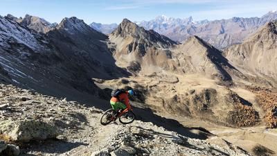
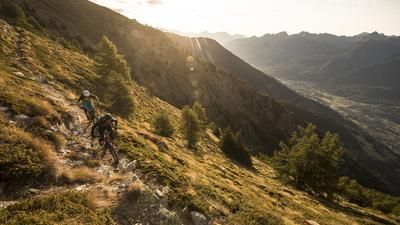
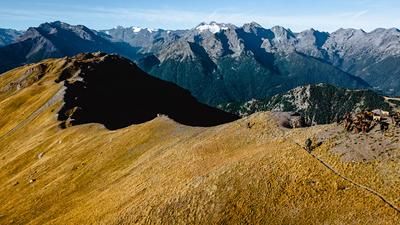
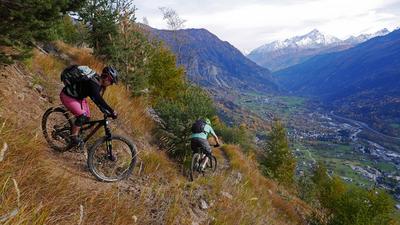
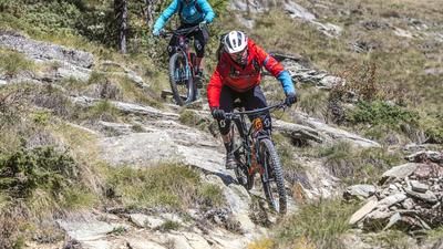
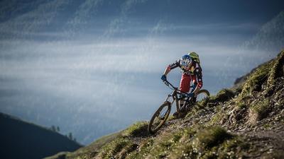
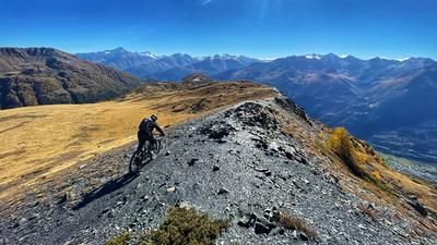
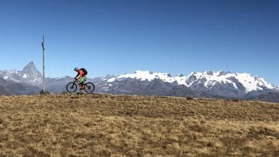
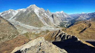
Ideally, you should be shuttled up from Aosta to Vétan for the start of the tour. The mountain village is 1200 meters above Aosta, and the upcoming gravel road ascent to the Rifugio Fallère adds another 600 meters to the altitude difference. Many people start the well-known Becca Trail from here, but we push our bikes up to Pointe Leysser. A further 400 meters in altitude are conquered in this way on a single trail, some of which is difficult to see. The summit experience is then unique: Monte Rosa, Grand Combin, Grande Paradiso and, above all, the entire Mont Blanc massif can be seen - and at your feet is a ridge path that makes a mountain biker's heart beat faster. The trail rides quickly and smoothly downhill, with a few short counter-climbs on the way to Pointe Oilletta, and finally the path winds along the south ridge down to the Col du Mont Joux. The trail spectacle is not yet finished. A great path leads down to Ru du Vens, then on to Vedun, where the final bouquet of trail fireworks awaits. A crisp path - quite steep at times, but increasingly flowing as the distance increases - leads down to Villaret in the upper Aosta Valley. If you have booked the "Aosta Valley Freeride" shuttle, the bus will pick you up here and ride you back to Aosta. Without a shuttle, you have to roll back to Aosta on the main road due to a lack of low-traffic alternatives.
Alternatives: If you want to reduce the return journey on the road, take the Ru du Vens to the village of Vens and then follow the route of the "Mucchetta Trail" tour to Avise. From here, however, you must also follow the road to Aosta.
Map & GPX-Track
The map is only available to Ride subscribers.
The Ride-Subscription is available at ride-mtb.com/abo
.
Details of the tour
23 km
1100 m
2065 m
819 above sea level
2751 above sea level
1 day
Aosta
La Salle
1692
not suitable
More information
More tours nearby



















User comments (5)

About the author: Thomas Giger
Note: This content has been automatically translated from German. Please report any incorrect translations.
Rode the tour today. It took us exactly 1 hour from Rifugio Fallere. There wasn't much riding
more. The last few meters in the rocks definitely require a lot of surefootedness on loose scree. There was also 1 e-biker at the top, so you just have to have the strength - the bike has to be pushed. Almost at the very end there is an extremely steep and dangerous section along the rocks. It doesn't like to suffer a fall there. There may have been a landslide, in any case you should push there, it is very exposed. All in all, however, the tour is hard to recommend.
We rode the tour yesterday: From the Refugio, you can always ride up the mountain a bit, but it's mostly pushing sections. You can push your bike up to the 2650 m elevation. After that, the last few meters have to be carried. There are two narrow passages just before the summit: here you have to hold on to wire ropes and should be sure-footed.
The answer to the question: "Why am I even doing this to myself?" is answered at the summit. An absolute dream view in every direction! And the narrow line that winds over several ridges makes up for every drop of sweat.
We all agreed: the best tour we've ever ridden - and there are many.
The spectacle of superlatives never stops. It's essential to keep your head on a swivel, as the trail often rides close to the deep abyss.
I would have given out condition 4 - but maybe that's due to my age :)
Speaking of e-bikes: you have to carry your bike the last few meters up to the summit. About ten minutes through rocky, alpine terrain. Pushing is not possible. If you are able and willing, you can also do the route on an e-bike. The previous section from the Rifugio to the saddle below the summit can largely be ridden on an e-bike or assisted by the pushing aid.
The tour combines an alpine start with super playful single trails. You can feel that the author has made an effort to select the best possible single trails for the entire tour. The technical level of the tour should not be underestimated, it is more like 4 stars compared to the other tours on offer. The only downside: the last crossing is on an unkempt path, which is partly destroyed and very dangerous in the rain (rocks underneath). I wouldn't recommend it to every rider (my girlfriend didn't like it that much!). Otherwise, thank you very much for the tracks, thanks to you we had a great stay in the Aosta Valley!
Hi Maxence, do you think this tour is possible with an e-bike? And if not, which sections are problematic? Thanks for your answer! And have a good ride!