

Monte San Bernardo – Val del Salin

Description
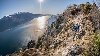
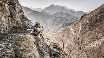
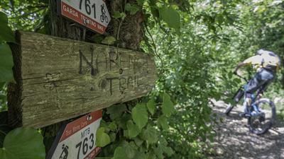
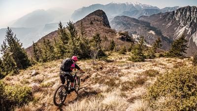
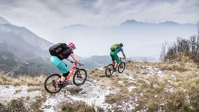
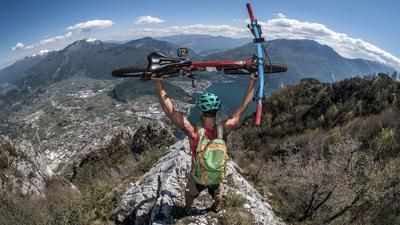
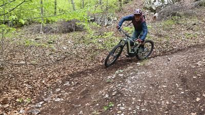
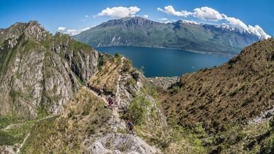
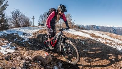
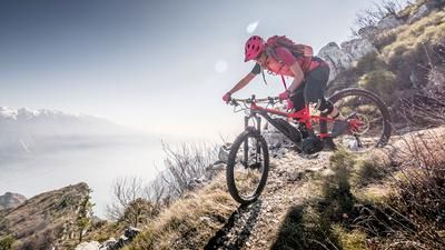
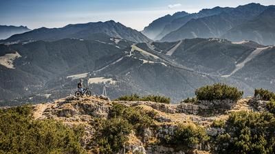
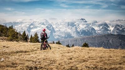
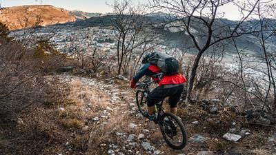
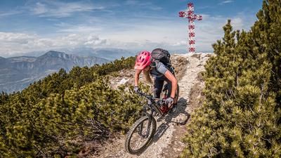
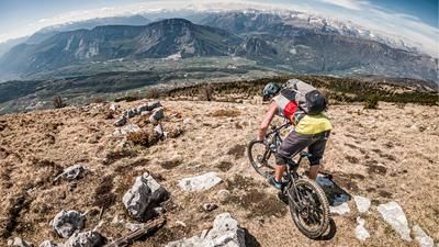
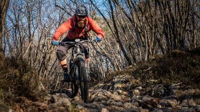
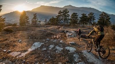
The tour starts in Mori. From here, the route follows an idyllic cycle path to Loppio, where the character changes from pleasant asphalt to a relatively rough cart track uphill through the southern slopes. At Valle San Felice, the route heads towards Monte Nagià Grom. At the saddle, you roll downhill on asphalt for a few meters before the next interesting and significant uphill to the highest point of the tour, Monte San Bernardo. A mix of asphalt, gravel and some trail in the upper area at the Grotta degli appestati then leads past the summit and on to the downhill roll-in on a trail of difficulty S1, occasionally S2. The entire traverse takes you back to the village of Nomesino, which you have already crossed, and then follow the signposts towards Mori. The route then continues through the Val del Salin with the predicate "flow". This route is very popular with mountain bikers. With a similar level of difficulty to the upper section, this trail rides back to Mori and the starting point.
Map & GPX-Track
The map is only available to Ride subscribers.
The Ride-Subscription is available at ride-mtb.com/abo
.
Details of the tour
18 km
920 m
920 m
199 above sea level
1124 above sea level
1 day
Mori
Mori
2834
well suited
More information
More tours nearby

































User comments (2)

About the author: Martin Depauli
Note: This content has been automatically translated from German. Please report any incorrect translations.
The section of the trail above Nomesino isn't worth it at all from a technical standpoint, but it's still a pretty cool experience. Warning: a rockslide has buried the trail in the upper section; crossing it with your bike on your shoulder is dangerous and not recommended.
Praziser: The rockfall is located at approximately km 12.5, at an elevation of 980 meters. It can be easily bypassed by taking the left-hand hairpin bend slightly higher up and following the road through the valley.